Below you’ll find a number of ways to explore the trail network:
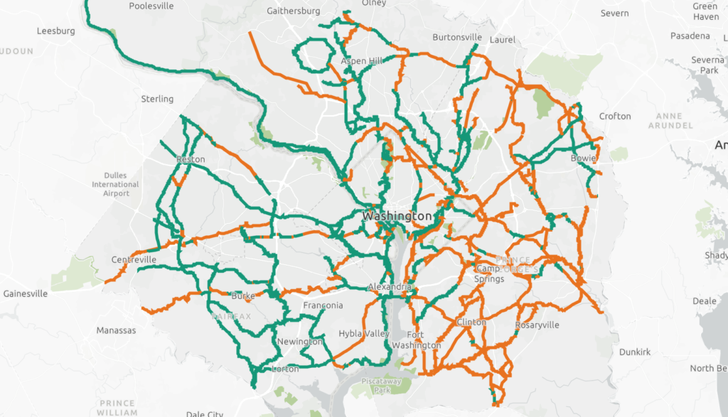
Interactive Map

On the interactive map, click on a trail to find more information about the segment. Click on the home button for the map to zoom out to the entire network. The orange segments are planned trails while the green/turquoise segments are already existing trails.
Print Maps
Printable maps of every jurisdiction in the Capital Trails Network!
- City of Alexandria
- Arlington County
- Fairfax County
- District of Columbia
- Prince George’s County
- Montgomery County
- Full Capital Trails Network
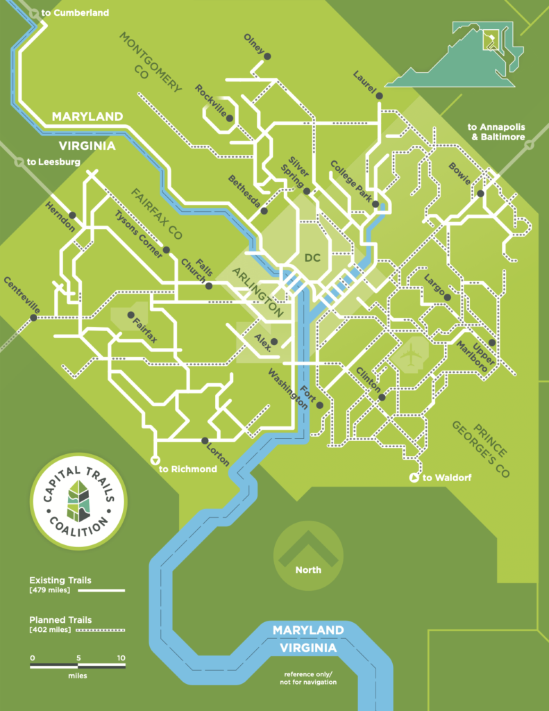
Diagrammatic Map
This diagrammatic map of the Capital Trails Network provides a useful visualization of existing and planned trails in the DC region.


