I-66 Trail
A 16-mile extension of Virginia’s beloved Custis Trail
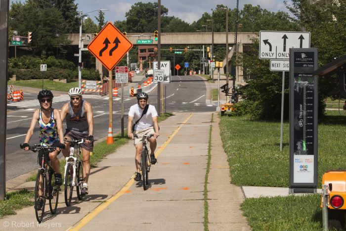
The Virginia Department of Transportation will add 16 miles of shared-use path adjacent to Interstate 66 as part of its Transform 66 Initiative. Some segments will be located along adjacent roads, and others will be located along the interstate corridor (inside and outside of the sound wall). These segments will be separated from the roadway by a concrete barrier and fence, but trail users still have concerns about air quality, noise, safety, and access.
Quick Facts
Jurisdiction: Fairfax County, VA
Length: 16.1 miles remaining
Plan Reference: Transform 66 (VDOT)
Status: In Construction
This trail will provide continuous, non-motorized access from Centreville, VA to Merrifield, VA, connecting neighborhoods along the corridor to parks, Metro Stations, and the existing trail networks in Arlington, Alexandria, and Washington, DC.
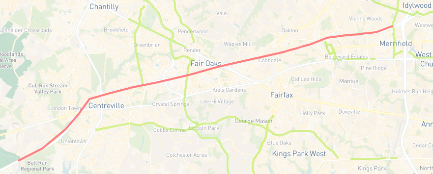
Where is this project in the trail network?
The I-66 Trail is highlighted in red. Click below to view the interactive webmap.
When can you use it?
Trail Development is complicated. Here’s where the I-66 Trail is in the process:

Who supports the I-66 Trail?
 “Wow! A multi-modal project with real biking and walking options. This trail will be a great asset for the region. ”
—Sonya Breehey, Fairfax County resident